지도 관리부
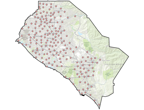
The Orange County Registrar of Voters Maps Department manages the agency’s address and precinct databases, and provides a range of mapping and data products for the public. On this page, you will find downloadable and print-ready maps, our map-ordering tool, interactive mapping applications, internal and external GIS data sources, as well as other mapping-related resources and department information.
GIS Data
Explore and download a variety of mapping data from the Orange County Registrar of Voters and other sources.
Districts
Congressional
Senatorial
Assembly
Supervisorial
City Districts & Wards
Precincts
Current Sets
Archived Sets
Additional GIS Data
OC Board of Ed
LAFCO
OC Public Works
LA County GIS
We Draw the Lines
US Census
자주 묻는 질문
아직도 궁금하세요? 저희가 도와드리겠습니다. 아래의 더 읽어 보기를 누르시면 자주 묻는 질문의 답을 보실 수 있습니다.
일반적인 질문
- How can I obtain a map?
- How can I obtain an electronic precinct boundary file?
- Where can I obtain information on my elected officials?
- How can I found out in which districts I reside?

누락된 게 있나요?
아래의 돌아가기를 누르시면 지난 내용을 보실 수 있습니다.

오렌지 카운티 선거관리국 - 2020